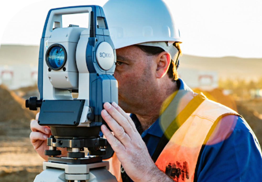
Specialists from CJSC “Baku Insaat Layihe” carry out a wide range of topographic and geodetic works, including both the design and construction stages, as well as for the operation of facilities. By involving qualified and experienced specialists and utilizing modern technical equipment, CJSC “Baku Insaat Layihe” offers consumers the following engineering and geodetic services:
For the Design Stage:
For the Design Stage:
- Creation of altitude and planimetric justification that meets all geodesy class requirements;
- Regardless of the type of designed objects, provision of topographic and geodetic surveys of any scale;
- Selection and fixing of the axes, angles, and turns of linear structures, leveling along them, and profile compilation;
- Creation and printing of topographic plans that meet all project requirements using computer technology;
- Assessment and cost estimation of all types of topographic and geodetic works.
- Creation of a construction grid for construction works;
- Fixing points (benchmarks) for height justification;
- Transfer and fixing of project axes for all types of structures;
- All types of geodetic services during construction and installation works;
- Compilation of as-built schemes or surveys when handing over constructed or installed objects.

For the Operation Stage:
- Depending on the operational requirements of all types of crane tracks, compilation of as-built schemes to determine deformations based on geodetic surveys using various methods and geodetic instruments
- Study of deformations and changes, as well as analysis and reporting on high-precision geodetic works at all structures, especially in the field of hydraulic engineering.
